Echo Mountain
Hiked August 26, 2006
BF and I chose this trail after I returned from flute choir. I had wanted to do an easy hike because I was recovering from a case of strep throat—I was still feeling a bit out of it, and a long hike wasn't in the cards. I also needed to do a short hike because my friend Shanna and I were heading to the American Idols Live concert that night.
If you're wondering why Shanna doesn't get to be anonymous on my blog, it's because she has her own blog called "Out of My Head" (linked in the right column) where she has already revealed her secret identity.
Anyway, for the sake of saving my infection-ridden self and making it in time to hear Elliott Yamin sing "Trouble", BF and I chose to hike Echo Mountain, just north of Pasadena.
It was a hot day in Los Angeles, and the views were not exactly clear. There are days in L.A. when you can see from the mountains to the ocean with perfect clarity. This was not one of those days. Instead, the city was hazy with smog.
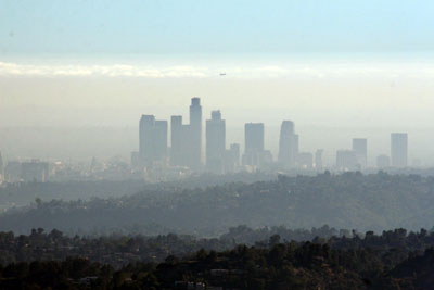
It made me want to cough. I thought of all the particulate matter that I was inhaling, and suddenly I yearned for Yosemite again. But we were stuck in Los Angeles, and we were going to hike through the smog even if it killed us!
After a little puttering around trying to find the right trailhead, BF and I stumbled across a plaque detailing the hike. Here I am looking over it:
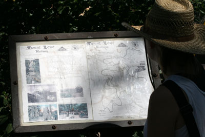
The plaque informed me that at the turn of the 20th century, some very industrious individuals built a railway and a large complex of buildings at the top of Echo Mountain. I've borrowed the following picture from Peter J. McClosky's site:
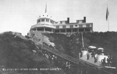
He has a lot of cool pictures of the railway, the observatory, and the whole Echo Mountain site.
Before I get ahead of myself, let me talk about the hike. Basically, the hike is just switchbacks straight up to the mountaintop. There is very little shade, which was pretty brutal on such a hot day. Ascending 1400 feet in 2.5 miles was surprisingly strenuous for me. I suppose I should have known it would be, but I was expecting it to be a little easier. Of course, I drank a lot of water and just took the hike slowly. In the end, the ruins at the top easily justify the slog uphill.
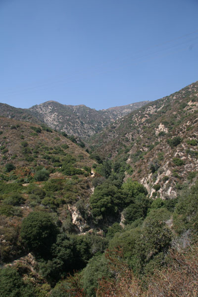
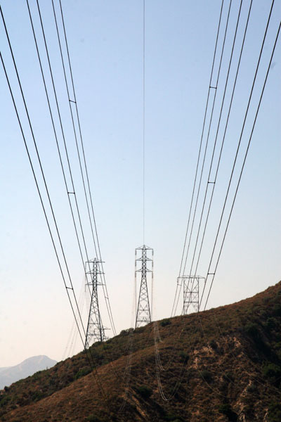
About halfway up the hill, you cross under some huge power lines:
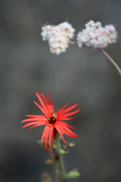
Being late summer, there weren't a lot of wildflowers, but here's one we found:
There were a fair amount of hikers coming down the trail as we were going up. Of course, this had to do with our usual late start. Most sane hikers had headed up the hill when it was cooler. However, because most people were coming down, we had the summit mostly to ourselves when we arrived.
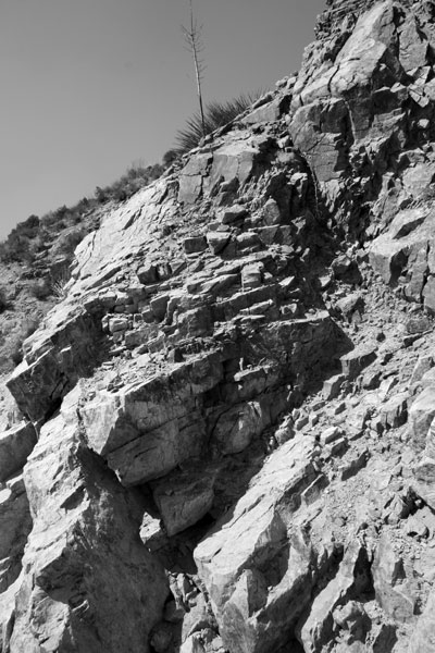
BF liked the look of the rock on the mountainside and he got artistic:
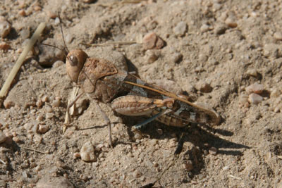
We also found this dusty grasshopper sitting in the middle of the trail:
Otherwise, the hike up was mostly uneventful. Once we reached the summit, we got a good dose of history. You can read all about it on the Wikipedia entry for the Mount Lowe Railway.
Here are the Clif's Notes: a railway was built in the 1890s to take vacationers up to Echo Mountain, where there was once a casino, observatory, and a big hotel. There were also two large generators to supply the tourists with electric illumination. Unfortunately, in 1905 the wires from said generators got caught up in a wind storm and caused a huge fire that burned down everything but the observatory.
They rebuilt the Echo Mountain House, but the railway was abandoned in 1938 after a string of natural disasters made the whole operation unfeasible.
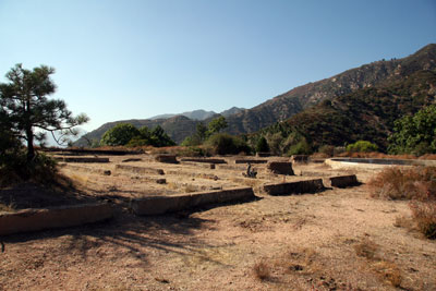
Now, all that's left is the foundation of the Echo Mountain House and a few pieces of the railway. Here's the remains of the house:
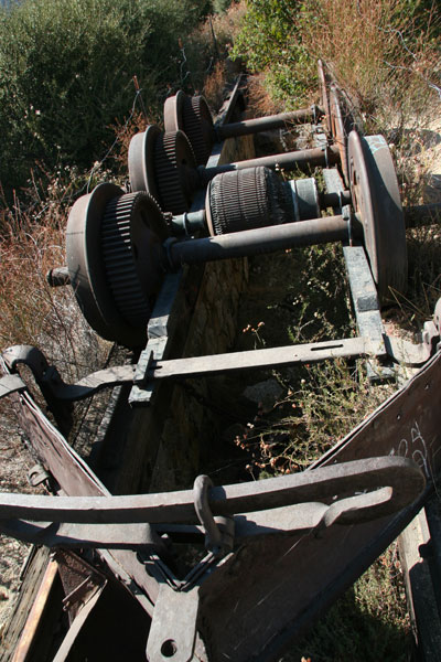
A big piece of railroad equipment:
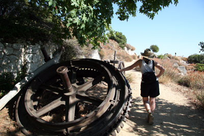
And a huge gear for pulling the railcars up the incline (with me standing next to it for scale):
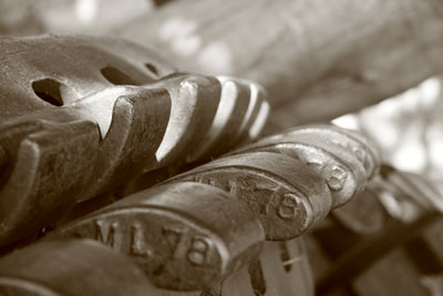
BF also got a little artsy with the gears:
Another cool artifact is the "echo phone":
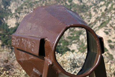
Apparently people used to yell through this contraption, and people up on Mount Lowe could yell back through another and they'd have a conversation. It's no RAZR V3, but it's certainly wireless communication.
Having checked out the ruins, BF and I decided to head back down the mountain. It's always amazing to me how much faster you descend on a hike, and this trail was no exception. What took an hour to climb took what seemed like minutes to descend. BF and I knew we had to get back to the car ASAP so I could make my date with Taylor Hicks, so we didn't stop very often. We did stop to get a shot of a circling hawk overhead:
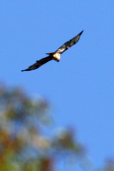
I suspect it's a red-tail hawk, but I'll have to wait for my brother to confirm this for me. Right now he's in Veracruz, Mexico, counting and identifying hawks for a living, so I always default to his raptor-spotting skills.
We made it back to the car just in time to pick up some In-N-Out Burger, get home, shower, and eat (in that order) before heading off to the concert.
P.S. The concert was great, especially because I got the tickets for $10 each even though the face value was $60. Thank you, eBay.


3 Comments:
Wireless communication. Haha!
I'm honored to make a cameo in your blog. The concert was well worth the $10!
Nice Blog..
I've been there a couple of times and was lucky enough to get a great view of LA from Inspiration Point.
Try Switzer Falls, close by and very nice. Get there early though.
These are some great trail stories. I'm excited to read more, AND to watch you discover some of the amazing hikes around L.A.
Post a Comment
<< Home